08 Nov Customer Spotlight: How Bentley Development uses drone mapping to reduce costs and win new business
In a competitive market, industrial leaders like Bentley Development must be faster, more accurate, and more efficient than ever before. To this end, Bentley was successful in implementing a commercial drone mapping solution to automate their job site analysis. The technology has led to more business, faster construction and a 97% reduction in invoicing delays.
Bentley Development was established in 1971 as a mining contractor, but forty plus years later they now perform a combination of mining operations, landfill construction, and commercial site development. To this day, the small company based outside of Pittsburgh still closes new business with a handshake as they did when they first opened. However, their process of doing business has changed thanks to new technologies.
Recently, Bentley integrated a commercial drone mapping solution which provides aerial mapping in near real time at their current 180-acre mining project in Pennsylvania. As a result, all of their mapping needs were met, improving their project operations by staying on time and under budget. Now, Bentley is planning to use this solution to map and track an upcoming landfill project located in North Carolina.
Phil Shumaker, Vice President of Operations at Bentley, believes the benefits of having a drone solution doesn’t end at managing and tracking current projects. He also sees how it can help win new business and increase financial efficiency as well.
Related Content: The ROI of Drone Mapping
Here’s Bentley’s Blueprint for Success
Speed and cost reduction:
“In the past, it would take 3-4 weeks to capture and analyze our progress. With Identified, we were able to map 180 acres in a couple hours and receive the data that same evening. This means our survey team is freed up for other tasks, and our survey costs go down.”
New business:
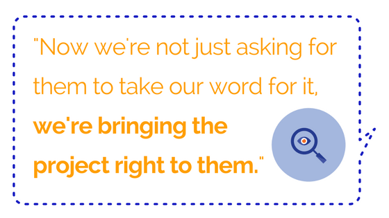
“This is also a tremendous marketing tool for us. We work for some big companies where the VP doesn’t get out to the site very often. The ability to show potential clients before and after 3D graphics of our work gives them more confidence than describing it on a conference call ever could. Now we’re not just asking them to take our word for it, we’re bringing the real project right to them.”
Faster invoicing
“In our business, speed is crucial, and cutting time spent surveying makes accurate invoicing, and collecting payments much faster.”
To read more coverage of this exciting news, please read the full articles below:
No Comments