18 Apr 4 Benefits of Surveying Drones Regardless of the Industry You’re In
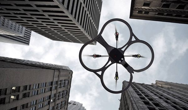
Surveying drones are becoming increasingly prominent in the construction industry due to their efficient, accurate, and relatively safe ability to map job sites. However, the benefits of surveying drones are not specific to construction companies – these drones are applicable in other verticals such as energy, engineering, and mining.
According to recent articles in the New York Times, energy companies have found that drones are particularly useful for collecting data to aid in infrastructure maintenance. Drone providers’ tools allow survey drones to easily pick up and analyze information about oil rigs to ensure they are safe and well preserved.
Engineers additionally have been using drones more and more for safety inspections. The drones’ high quality cameras allow for precise data capture. This data uploads to the drone solutions’ software to provide engineers with efficient and accurate analytics.
It’s well known that miners can experience dangerous work environments, and it is just as dangerous to survey mining grounds for safety by foot. However, these surveys are of paramount importance when it comes to keeping mining sites safe. One solution to making surveying less dangerous is to use drones – the precision and speed of surveying drones and the tools offered by drone providers allow for site surveying in a fraction of the time and cost. Additionally, drone solutions allow for an accuracy equivalent to that of traditional surveying methods.
Although surveying for the purpose of safety is a key drone capability, there is more to surveying drones than checking for safety. Here, we will explore four significant reasons why surveying drones can be effective assets for these additional fields.
- Tell your project’s story. Surveying drones are equipped with high-definition, powerful cameras, the perfect tool to use for creating guided demonstrations of a finished project. Not only can mapping drones capture high-quality videos, but they are also compatible with commercial platforms that allow for the controlled path of a mapping drone. As a result, the drone can survey a site autonomously, meaning it will perform the survey on its own. So, whether you need to map a pipeline or a stockpile, if you upload the coordinates correctly, the drone will capture it. Below is a sample video of a mapping drone autonomously flying through a highway excavation job site.
- Get context before your project. When using a surveying drone on a construction site, you have the ability to generate fast, accurate job site information using just the push of a button. Regardless of the vertical, you can similarly perform surveys of sites to pinpoint hazardous areas to establish safeguards before any crew steps foot on a site.
- See 3D volumetric displays. With the help of drone providers’ tools, surveying drones can generate maps of ground areas. Maps generated by these drones would allow companies in certain verticals to determine the feasibility of each project they take on and to perform necessary tasks.
- Reduce project budgets and time spent. Even though it might seem expensive to use drones, the devices save companies money by allowing for the redistribution of budgets away from in-person mapping and reporting and towards online editing and distribution of data. Check this article for more information about budgets for mapping drones.
Surveying drones are starting to become the most prominent new technological fad for builders. They are powerful and surprisingly affordable given the redistribution of a company’s budget. With drone technology taking off and growing its reach, it may be time to consider your surveying options.
Duncan Lance
Posted at 18:23h, 07 JuneI had never thought about how drones could be used in different industries to help improve them, but I have to admit that your article does make a good point. It is particularly interesting that you make some suggestions on how drones can be used in the construction industry. However, it does make a lot of sense that you would be able to use them to help survey your project area before you begin working on it.