Logo Logo Logo Logo Logo
  • Industries
  • Services
  • Tools
  • Contact
  • Industries
  • Services
  • Tools
  • Contact
Self Pilot Aerial Mapping Drone

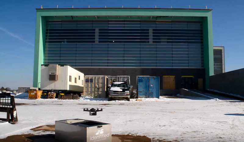
12 Jul Autonomous mapping boomerang drone and docking charging station

Posted at 08:39h in UAV Surveying 0 Comments
Share
Don’t work so hard. Watch the Boomerang drone pilot itself and charge and swap out it’s own batteries and data....
Read More
Recent Posts
  • Monthly Flyover: How Does Drone Mapping Impact a Construction Project?
  • 5 Crazy-Effective Drone Mapping Software Tools (And How To Use Them)
  • How Drone Mapping Transforms Geomatics Operations [Monthly Flyover]
  • What does the industry think about Identified Technologies?
  • Monthly Flyover: What You Need to Know About Flying a Mapping UAV
Categories
  • Aerial Construction Photography
  • Aerial Surveying Drone
  • Commercial Drones
  • Construction Drone Case Studies
  • Construction Drone White Papers
  • Construction Drones
  • Construction Management
  • Construction UAV
  • Customer Spotlight
  • Drone Buying Guide
  • Drone Leasing
  • Drone Mapping
  • Drone Mapping Software
  • Drone Safety
  • Drone Services
  • Drone Technology
  • Earthmoving
  • Energy
  • FAA Drone Law Regulations
  • Featured Resource
  • Internet of Things (IoT)
  • Mining
  • Monthly Flyover
  • UAV Surveying
  • UAV Technology
Tags
Architect Budgeting Business Case Study Demo Drone Benefits Entertainment FAA FAA Regulations GIS Lease News Operations Podcast Safety Surveying UAV
logo
Identified Technologies
6401 Penn Ave, Suite 211
Pittsburgh, PA 15206
412.307.5174
contact@identifiedtech.com