Logo Logo Logo Logo Logo
  • Services
    • Data & Software
    • DIY Solution
    • Mapping On Demand
  • Industries
    • Construction & Excavation
    • Energy & Gas
    • Engineering & Surveying
    • Mining & Aggregate
    • Solid Waste & Landfill
  • About Us
  • Learn
    • Resource Center
    • Blog
  • News
    • Press Releases
    • News Coverage
    • Awards
  • Contact
  • Login
  • Free Demo
  • Services

    • Data & Software
    • DIY Solution
    • Mapping On Demand
  • Industries

    • Construction & Excavation
    • Energy & Gas
    • Engineering & Surveying
    • Mining & Aggregate
    • Solid Waste & Landfill
  • About Us
  • Learn

    • Resource Center
    • Blog
  • News

    • Press Releases
    • News Coverage
    • Awards
  • Contact
  • Login
  • Free Demo
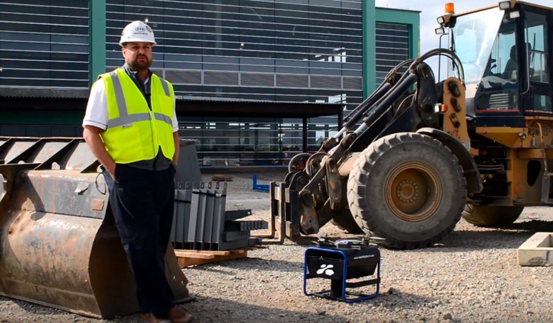
Mascaro Interview Aerial Mapping Drone

17 Sep Interview with Mascaro Construction Project Manager Jon Machen

Posted at 13:20h in Construction Drone Case Studies 0 Comments
Share
Too often, construction companies are relying on outdated, inaccurate topographical maps for calculating data such as cut-and-fill quantities. By capturing discrepancies in design drawings early on, however, contractors can save millions of dollars in costs....
Read More
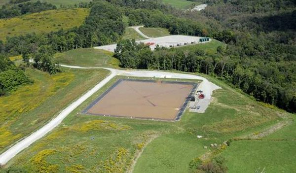
Seneca Resources Mapping Drones

09 Aug Seneca Resources mapping drone case study

Posted at 09:41h in Construction Drone Case Studies 1 Comment
Share
Tapping into Pennsylvania’s vast natural gas reserves while being a good corporate citizen and minimizing impact on the environment is a challenge confronting producers throughout the state....
Read More
Recent Posts
  • Monthly Flyover: How Does Drone Mapping Impact a Construction Project?
  • 5 Crazy-Effective Drone Mapping Software Tools (And How To Use Them)
  • How Drone Mapping Transforms Geomatics Operations [Monthly Flyover]
  • What does the industry think about Identified Technologies?
  • Monthly Flyover: What You Need to Know About Flying a Mapping UAV
Categories
  • Aerial Construction Photography
  • Aerial Surveying Drone
  • Commercial Drones
  • Construction Drone Case Studies
  • Construction Drone White Papers
  • Construction Drones
  • Construction Management
  • Construction UAV
  • Customer Spotlight
  • Drone Buying Guide
  • Drone Leasing
  • Drone Mapping
  • Drone Mapping Software
  • Drone Safety
  • Drone Services
  • Drone Technology
  • Earthmoving
  • Energy
  • FAA Drone Law Regulations
  • Featured Resource
  • Internet of Things (IoT)
  • Mining
  • Monthly Flyover
  • UAV Surveying
  • UAV Technology
Tags
Architect Budgeting Business Case Study Demo Drone Benefits Entertainment FAA FAA Regulations GIS Lease News Operations Podcast Safety Surveying UAV
logo
Identified Technologies
6401 Penn Ave, Suite 211
Pittsburgh, PA 15206
412.307.5174
contact@identifiedtech.com
Latest From Our Blog
  • Monthly Flyover: How Does Drone Mapping Impact a Construction Project? November 20, 2018
  • 5 Crazy-Effective Drone Mapping Software Tools (And How To Use Them) November 1, 2018
  • How Drone Mapping Transforms Geomatics Operations [Monthly Flyover] October 23, 2018
Links

Drone Webinar Signup

Get Free Aerial Drone Mapping

Commercial Drone Blog Articles

UAV Careers

Privacy Policy