23 Aug Monthly Flyover: What You Need to Know About Flying a Mapping UAV
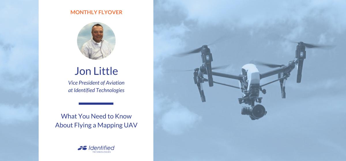
Need some tips on flying a drone? We spoke with Jon Little, VP of Aviation at Identified Technologies to get his expertise. After spending his entire career in aviation– he knows the industry, FAA requirements, and anything UAV like the back of his hand. He’s sharing his advice and opinions on the flying-side of commercial drone mapping.
What You’ll Learn:
In the interview, Jon shares how much time to really dedicate for the FAA Part 107 exam, his opinion on what’s next for commercial drone laws, and some insider tips to drone flying.
Q: Explain your role at Identified Technologies and the value you provide for customers
A: My main responsibility is making sure customers are flying their drones in a safe and correct manner. This includes helping our Customer Success Manager support customers that may need assistance with training or flying the drone.
Additionally, I check airspace for customers, make ground control plans, apply for FAA Part 107 airspace authorizations/waivers, and conduct testing with our engineers.
Out of everything, the most important thing I do is making sure customers know how to operate the drone safely and correctly.
Q: How would you recommend preparing for the FAA Part 107 exam?
A: Most of our customers don’t have an aviation background.
In this situation, I would recommend studying for two weeks, at least two hours each day. Most of the missed questions on the exam are either airspace or weather-related questions, so I would say focus on those.
Customers can call or email me with questions and I’ll help them through whatever they need– if they need help reading maps or with airspace, I’ll set up a screen share to review.
Q: As the FAA’s policies continue to change, what are your predictions for what’s next?
A: The FAA needs to implement Unmanned Traffic Management (UTM) in the United States. In order for someone to fly a drone beyond line of sight for a highway project a delivery, etc., a low-altitude drone air traffic system must be established allowing unmanned aircraft to integrate with the current US air traffic system.
It’s not just about controlling the drone beyond line of sight, it’s about avoiding all other obstacles- manned or unmanned aircraft.

Q: Share your opinion of PPK/RTK technologies versus laying GCPs on the job site
A: It really depends on the project.
Customers working on large sites like to use Post-Processed Kinematic (PPK) drone technology because there could be 90 ground control points that need to be laid before the site is flown and data is collected. PPK drone mapping enables them to eliminate this step and start flying shortly after arriving on site.
However, GCPs ensure really good data accuracy. So it just depends on the type of project and the accuracy required by the client.
Q: What are some tips you have for people on the job site drone mapping every day?
A: When going out in the field to fly, I would recommend bringing a computer to check your data right after the flight.
If you don’t check it before leaving the site, you risk having pictures that may not be clear or without ground control. If you’re driving three hours away to a site, and come back with data that cannot be processed, it can be frustrating.
I also recommend bringing a notebook to log flight times, extra batteries, and a device to store the photographs, like a USB.
Interested in hearing more from experts and thought leaders in drone mapping? Check out the last installment in the Monthly Flyover series here about how drone mapping impacts a construction project.
No Comments