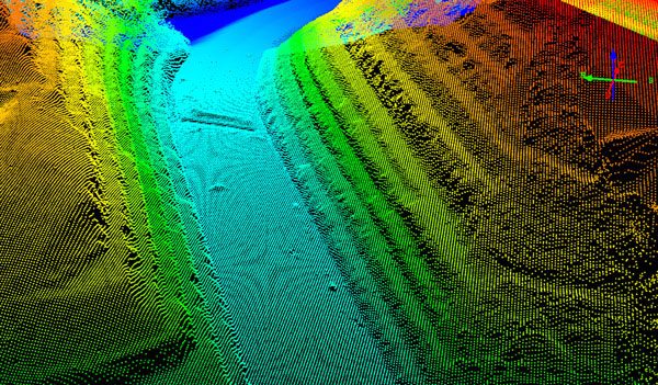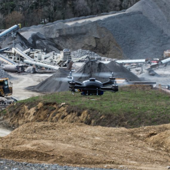
21 Oct Can you map a 100 acre job site in 9 minutes?
In 9 minutes, a Boomerang drone system from Identified Technologies was able to land survey a 100-acre job site with an accuracy of 99.6 percent compared to conventional surveying methods. Upon arriving on site, the specific area to be surveyed was selected and programmed into the system....