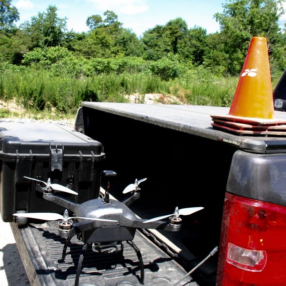
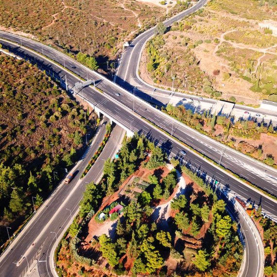
The highway construction industry is becoming more effective with the help of drone mapping. We had the opportunity to experience the state DOT community by exhibiting at the Annual APC/PennDOT Fall Seminar. From attending this event, we can say drone mapping is the secret weapon to constructing highways.    This conference allowed anyone and everyone in the Pennsylvania construction and transportation space to connect, share ideas, and do business. There were also breakout sessions and presentations focusing on several different topics surrounding innovation, tech, and more in highway construction....

A couple of weeks ago, we attended ConExpo-Con/Agg 2017, a triennial event gathering construction industries in Las Vegas, Nevada. It was five days, 2.6 million square feet full of technologies and innovations in equipment, products, and services. Clearly, an event of this scale was exciting to exhibit. Not only was the event area incredibly large, the opulence of everything was unbelievable (we’re talking beer gardens, movie theaters, and breakdancers). We came back from the event enlightened with major takeaways telling us much about what is to come for the construction industries....

In a competitive market, industrial leaders like Bentley Development must be faster, more accurate, and more efficient than ever before. To this end, Bentley was successful in implementing a commercial drone mapping solution to automate their job site analysis. The technology has led to more business, faster construction and a 97% reduction in invoicing delays....

With the recent spike in commercial aerial survey drone popularity, it is important to understand the vocabulary associated with this new technology. This is a rapidly changing field, and keeping up to date with the terms is vital to knowing how construction mapping survey UAVs can help your company. Here are a few of the important terms...

Entrepreneur Magazine ‘Brilliant 100 Company’ and one of the publication’s “Top 10 Tech Companies to Watch” for 2016. Each year, Entrepreneur compiles its Brilliant 100 list by selecting several ideas, companies, applications and innovations that have unique solutions to common problems or marketplace voids. For 33 years, the publication has been a definitive resource regarding the diverse challenges of business ownership....

On June 15th, 2016, the U.S. Open was held at the Oakmont Country Club in Plum, Pennsylvania. But, the renowned golf competition’s annual journey did not begin there. On a cold October morning in 2015, a single survey drone initiated its mission. Flying over all 7,255 yards of Pennsylvania greens, the drone tracked, mapped, and planned the location that would soon host the world’s best golfers....

Time is money. Waiting weeks or months to receive mapping information for rapidly changing job site causes bad data, delays, excessive labor costs, and unhappy customers. Traditional mapping methods such as a manned helicopter or fixed-wing plane or a ground survey team often takes 1-2 months to gather and process the data into a report. By the time you receive it, the data is already old, inaccurate, and misleading....