05 Dec Are aerial surveying drones the next generation of speed accuracy and cost?
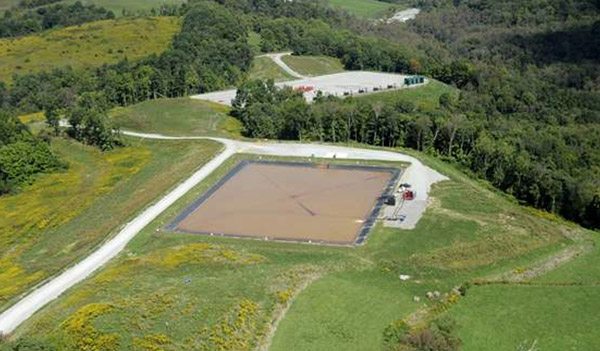
The search for faster and more affordable aerial topographical mapping has long been the “Holy Grail” for industries ranging from construction to mining to energy. Small, low altitude aerial surveying drones have shown the flexibility and reliability to be the ideal way to produce a map, drawing, measurement or a 3D model of any type of terrain. ...