20 Oct Why are mapping drones taking off for industrial project management?
RC planes and helicopters have been around for decades. This leads many to ask, “Why is there suddenly such a massive interest in drones?”
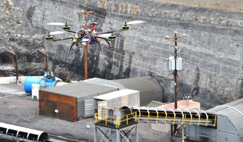
Government and private sector’s combined technologies give drones their capabilities. Flight controllers originally developed by NASA help drones fly consistently. GPS developed by the Navy help drones do geolocation, and miniaturized sensors, help them sense and make minor adjustments. These innovations, combined with small, high resolution digital cameras, have opened up a new world of possibilities using drones.

Most people know that drones are being used to capture professional quality photo and video in areas such as real estate, sports, movies, and commercials. However, many don’t realize, that drones are also being used for advanced industrial job site mapping, surveying, and monitoring. See more drone data details here.
No Comments