09 Jul 3 ways mapping drones give you faster job site data
Did you know that mapping drones can save their businesses both time and money on aerial surveying of industrial, construction, mining and energy jobs sites?
Data Collection on Demand
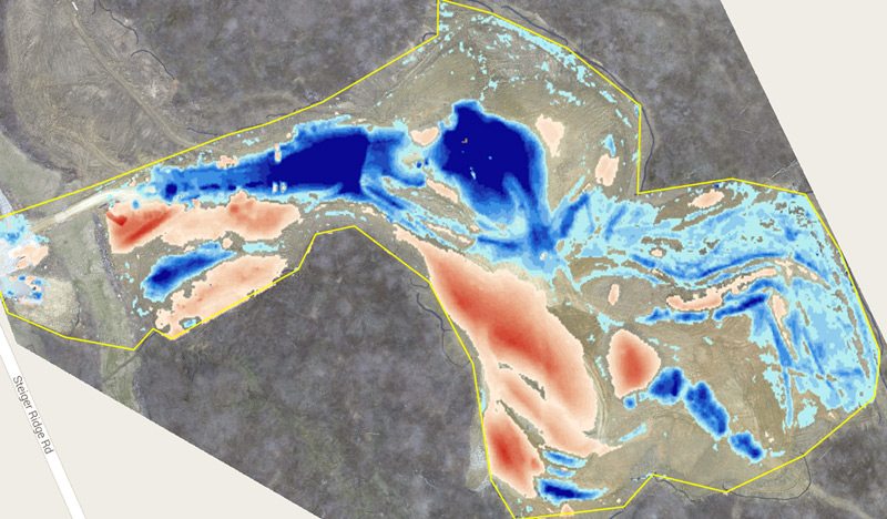
Using a drone negates the need to charter a survey team, helicopter or fixed-wing aircraft, which can often take six-to-eight weeks to book and cost over $10,000. A drone is always ready to go and is 200x faster than traditional surveying methods, and still delivers within 1% of LiDAR sub-centimeter accuracy.
Efficient Flights
Drone can be programmed to automatically map sites with the most efficient flight path, more quickly and accurately than can be done by a human pilot. Its size and nimbleness also enables it to fly through air space unreachable by a manned helicopter or airplane.
Turnaround Time
Finally, with a drone you don’t have to wait weeks for processing your mapping data. Job site conditions are constantly changing which means old data is usually wrong data. Situational awareness and near real-time data can save you hundreds of thousands of dollars in project delays and cost overruns. A drone allows you to learn current conditions in just a few hours and have updated information daily if you so desire.
No Comments