05 Dec Are aerial surveying drones the next generation of speed accuracy and cost?
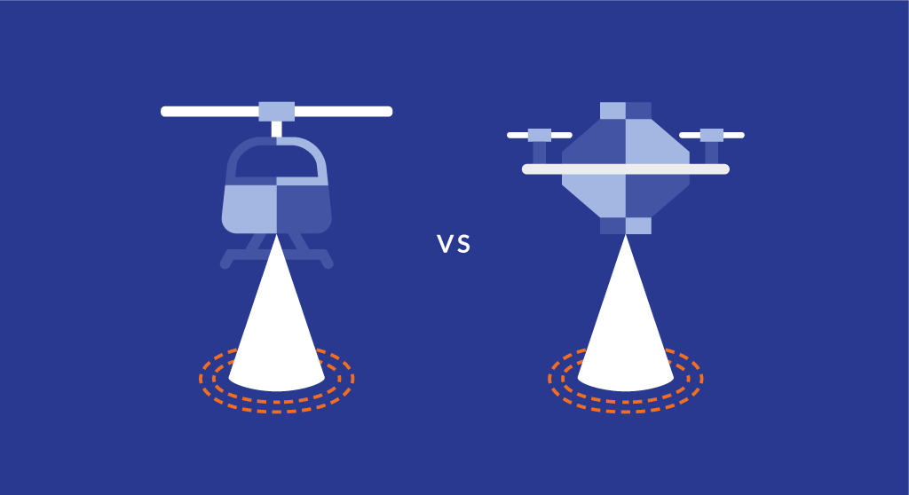
The search for faster and more affordable aerial topographical mapping has long been the “Holy Grail” for industries ranging from construction to mining to energy. Small, low altitude aerial surveying drones have shown the flexibility and reliability to be the ideal way to produce a map, drawing, measurement or a 3D model of any type of terrain. Drones have the ability to fly at great speeds horizontally or vertically, hover and maneuver in any direction and at a precise altitude, and position and operate within a confined airspace. They are a perfect fit for the needs of GIS teams. They can be deployed quickly and easily, gathering data which can be imported into a GIS database to create orthomosaic overlay maps and 3D model reconstructions. Please see our aerial surveying and drone mapping options.
Our drone maps have proven to be 99.6% of standard aerial done by manned aircraft. Data collection from drones has been shown to be 60-80% more cost effective than traditional methods. Drones can accomplish in minutes what would take a ground survey crew weeks or months, at a small fraction of the cost.
No Comments