Logo Logo Logo Logo Logo
  • Industries
  • Services
  • Tools
  • Contact
  • Industries
  • Services
  • Tools
  • Contact
Survey Drones Industrial Project Management

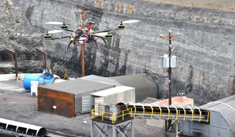
20 Oct Why are mapping drones taking off for industrial project management?

Posted at 09:56h in Aerial Construction Photography 0 Comments
Share
RC planes and helicopters have been around for decades.  This leads many to ask, “Why is there suddenly such a massive interest in drones?”...
Read More
Recent Posts
  • Monthly Flyover: How Does Drone Mapping Impact a Construction Project?
  • 5 Crazy-Effective Drone Mapping Software Tools (And How To Use Them)
  • How Drone Mapping Transforms Geomatics Operations [Monthly Flyover]
  • What does the industry think about Identified Technologies?
  • Monthly Flyover: What You Need to Know About Flying a Mapping UAV
Categories
  • Aerial Construction Photography
  • Aerial Surveying Drone
  • Commercial Drones
  • Construction Drone Case Studies
  • Construction Drone White Papers
  • Construction Drones
  • Construction Management
  • Construction UAV
  • Customer Spotlight
  • Drone Buying Guide
  • Drone Leasing
  • Drone Mapping
  • Drone Mapping Software
  • Drone Safety
  • Drone Services
  • Drone Technology
  • Earthmoving
  • Energy
  • FAA Drone Law Regulations
  • Featured Resource
  • Internet of Things (IoT)
  • Mining
  • Monthly Flyover
  • UAV Surveying
  • UAV Technology
Tags
Architect Budgeting Business Case Study Demo Drone Benefits Entertainment FAA FAA Regulations GIS Lease News Operations Podcast Safety Surveying UAV
logo
Identified Technologies
6401 Penn Ave, Suite 211
Pittsburgh, PA 15206
412.307.5174
contact@identifiedtech.com