Logo Logo Logo Logo Logo
  • Industries
  • Services
  • Tools
  • Contact
  • Industries
  • Services
  • Tools
  • Contact
photogrammetry software

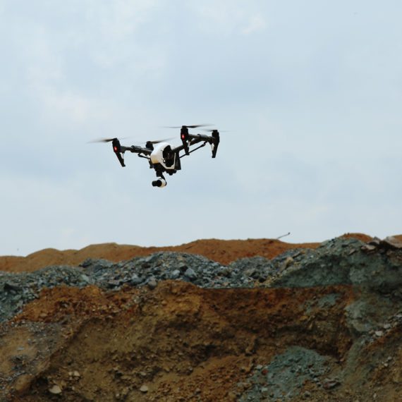
20 Nov Monthly Flyover: How Does Drone Mapping Impact a Construction Project?

Posted at 08:00h in Construction UAV, Customer Spotlight, Monthly Flyover 0 Comments
Share
We sat down with Jason Tosi, Construction Technology Coordinator, at i+iconUSA, a diversified group of heavy-civil industrial construction companies. After spending the last 25 years in construction, he gave us his opinion on what drone mapping offers the construction industry....
Read More
construction companies drone mapping

14 Jun 6 Amazing Ways Drone Mapping Helps Construction Companies Make Better Decisions (2018)

Posted at 08:00h in Construction Management, Construction UAV, Earthmoving 5 Comments
Share
It’s frustrating when things don’t go according to plan during a construction project. However, with the growing presence of drones in construction, more and more construction folks are discovering how drone mapping helps ensure projects do go according to plan.  ...
Read More
GIS Drone Mapping

21 Oct How are surveying drones taking GIS mapping to the next level?

Posted at 14:46h in Construction UAV 0 Comments
Share
Through the use of geospatial technology which permits autonomous flight, GIS mapping drones are revolutionizing how remote sensing data collection is taking place at job sites across the U.S. and around the world....
Read More
Recent Posts
  • Monthly Flyover: How Does Drone Mapping Impact a Construction Project?
  • 5 Crazy-Effective Drone Mapping Software Tools (And How To Use Them)
  • How Drone Mapping Transforms Geomatics Operations [Monthly Flyover]
  • What does the industry think about Identified Technologies?
  • Monthly Flyover: What You Need to Know About Flying a Mapping UAV
Categories
  • Aerial Construction Photography
  • Aerial Surveying Drone
  • Commercial Drones
  • Construction Drone Case Studies
  • Construction Drone White Papers
  • Construction Drones
  • Construction Management
  • Construction UAV
  • Customer Spotlight
  • Drone Buying Guide
  • Drone Leasing
  • Drone Mapping
  • Drone Mapping Software
  • Drone Safety
  • Drone Services
  • Drone Technology
  • Earthmoving
  • Energy
  • FAA Drone Law Regulations
  • Featured Resource
  • Internet of Things (IoT)
  • Mining
  • Monthly Flyover
  • UAV Surveying
  • UAV Technology
Tags
Architect Budgeting Business Case Study Demo Drone Benefits Entertainment FAA FAA Regulations GIS Lease News Operations Podcast Safety Surveying UAV
logo
Identified Technologies
6401 Penn Ave, Suite 211
Pittsburgh, PA 15206
412.307.5174
contact@identifiedtech.com