17 Sep Interview with Mascaro Construction Project Manager Jon Machen
Too often, construction companies are relying on outdated, inaccurate topographical maps for calculating data such as cut-and-fill quantities. By capturing discrepancies in design drawings early on, however, contractors can save millions of dollars in costs.
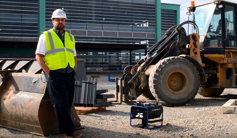
With Identified Technologies’ self-piloting Boomerang drone system, construction companies are quickly, precisely and safely mapping areas that are difficult to access by foot, such as elevated terrain, resulting in more precise data. The ability to access and share job site data in near real-time is a valuable business and communications tool for providing progress reports to various stakeholders, according to Mascaro Construction Project Manager Jon Machen. By discovering discrepancies faster, issues related to quantities and costs can be addressed sooner with the site owner.
No Comments