21 Oct Can you map a 100 acre job site in 9 minutes?
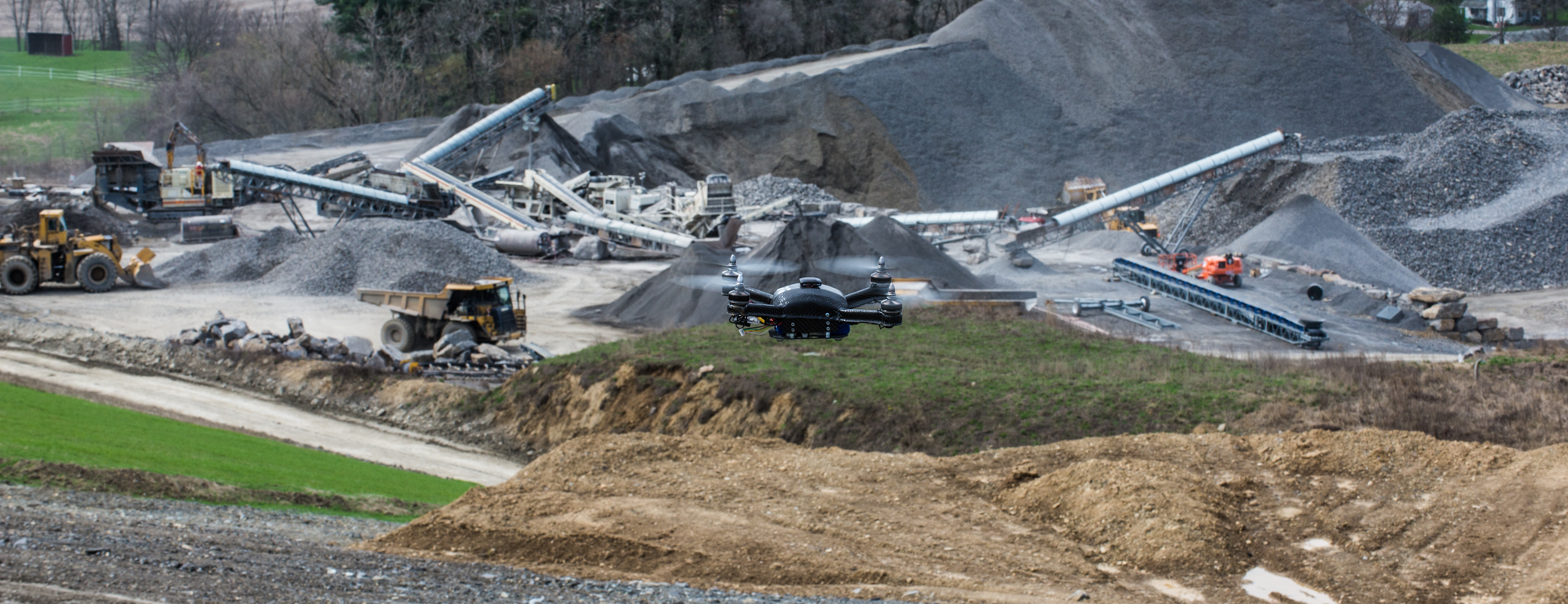
In 9 minutes, a Boomerang drone system from Identified Technologies was able to land survey a 100-acre job site with an accuracy of 99.6 percent compared to conventional surveying methods. Upon arriving on site, the specific area to be surveyed was selected and programmed into the system. The self-piloting Boomerang was then launched with the push of a button, completed its aerial mapping and then automatically returned to the launch site for landing. Once on the ground, the drone then auto loaded the captured data to the cloud.
The Boomerang system has proven 200 times faster than traditional methods for aerial surveying, generating centimeter resolution mapping for automatically tracking changes to inventory and stockpiles.
No Comments