20 Oct Highway excavation drone mapping project
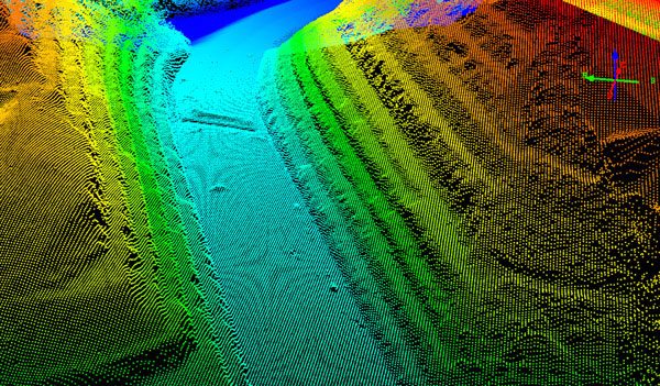
Moving mountains for a new Kentucky highway project required both precise measurement and an accurate estimate of the amount of stone being removed. Beyond that, the treacherous terrain made for a dangerous job site. When the Kentucky Department of Transportation selected Kokosing Construction for a pair of sites for a new highway in Pike County, the Ohio contractor turned to Identified Technologies and its Boomerang drone mapping system. A single drone was able to map two separate 1,000-acre sites in Elkhorn City, Kentucky in less than a half-day.
Drone Mapping System In Use:
Kokosing had been using scanner technology to measure from the side of one mountain to another, according to Kokosing Head Surveyor Bill Clifford, but because the distance across was so vast, the scanner points were not close enough to give a true representation of the terrain. “We were already looking at drones for this particular project,” Clifford said. “Identified Technologies’ Boomerang system worked out great! We had our data back even faster than they told us we would have it. The Boomerang flew on a Tuesday and we had our results on Friday morning. The peace of mind we had knowing our data was current and our project was on track was invaluable.”
Access the full webinar and white paper here.
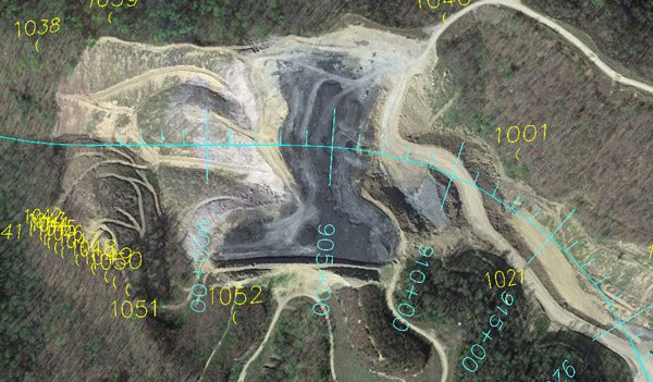
Pike 1 Before Construction
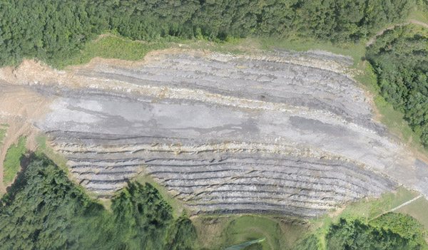
Pike 1 After Construction
No Comments