15 Jun Traditional Sports Using Drone Technology: Mapping the Oakmont Country Club for the U.S. Open

On June 15th, 2016, the U.S. Open was held at the Oakmont Country Club in Plum, Pennsylvania. But, the renowned golf competition’s annual journey did not begin there. On a cold October morning in 2015, a single survey drone initiated its mission. Flying over all 7,255 yards of Pennsylvania greens, the drone tracked, mapped, and planned the location that would soon host the world’s best golfers.
Arguably the most difficult golf course in America, Oakmont can bring even the best to their knees. “There’s a reason [The U.S. Open] is coming back to Oakmont. This is the gold standard for championship golf. It doesn’t get any better than Oakmont,” said the USGA’s Director of Rules, Mike Davis.
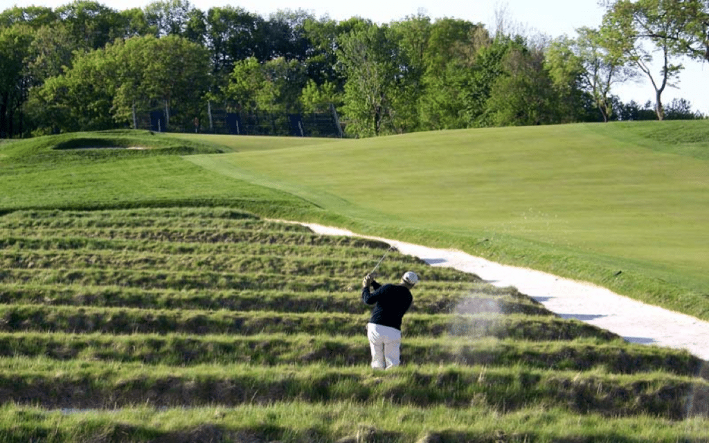 The Historical “Church Pews” Bunker at Oakmont Country Club
To craft such an excruciating course, USGA directors must understand the visual layout of the course from all angles. Because the Oakmont territory is so large, this year’s directors decided to take a cutting-edge approach: aerial surveying drones.
Thus, Identified Technologies was tapped to fly one of its drones 400 feet above the greens. During this flight, the survey drone used Identified Technologies’ autonomous commercial drone solution to map every square inch of the prestigious golf course. “It’s an honor to be able to use our technology to help with something that I’ve grown up loving,” said Dick Zhang, a New Jersey ranked golfer and the founder and CEO of Identified Technologies.
He then continued by stating that “[Identified Technologies’ has] primarily used our drone mapping technology for construction and mining, as well as oil and gas projects. We normally work with regional leaders like EQT and P.J. Dick, but when the USGA contacted us, I knew that I couldn’t pass this opportunity up. My golf coaches instilled the discipline and focus to me, that we now direct towards building this company. If it weren’t for golf, this company would not exist.”
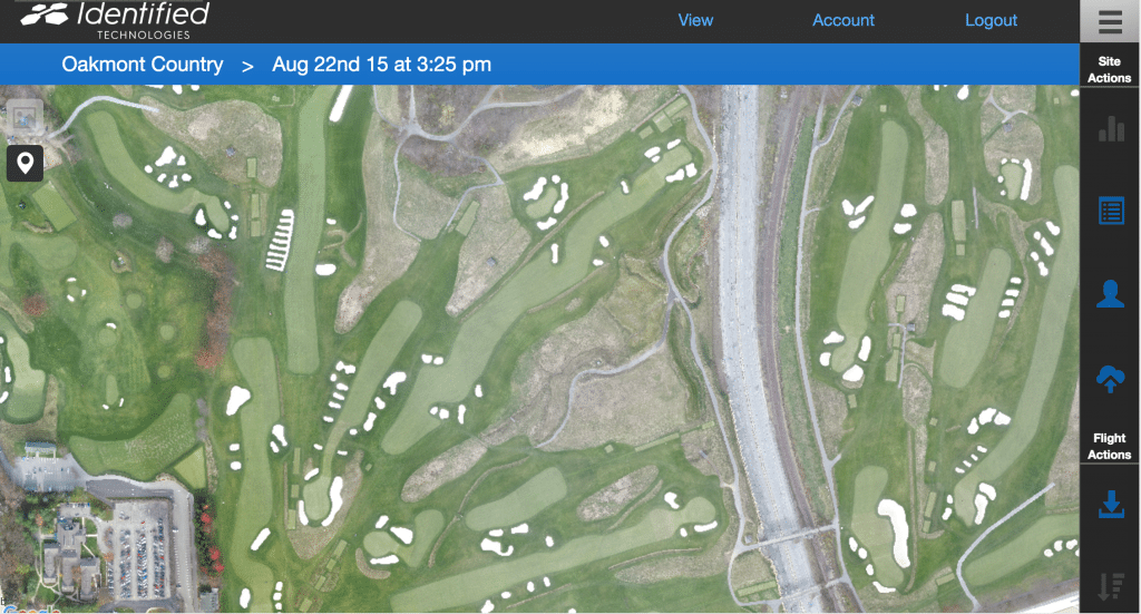 Identified Technologies’ Aerial Map of the Historic Oakmont Country Club
The United States Golf Association is using the maps obtained by Identified Technologies’ drone to view the course on an operations standpoint. In other words, they are using the maps to look for the best logistical blueprint on how to set up stands, booths, walking areas, and more throughout the course. This process used to take a month to achieve and cost the USGA tens of thousands of dollars.
But now, the USGA is equipped with an aerial survey drone that can complete surveys in minutes at a fraction of the cost. Additionally, “getting continuous 3D project tracking dramatically improves our clients’ speed, safety, quality, and profit margins,” according to Dick Zhang.
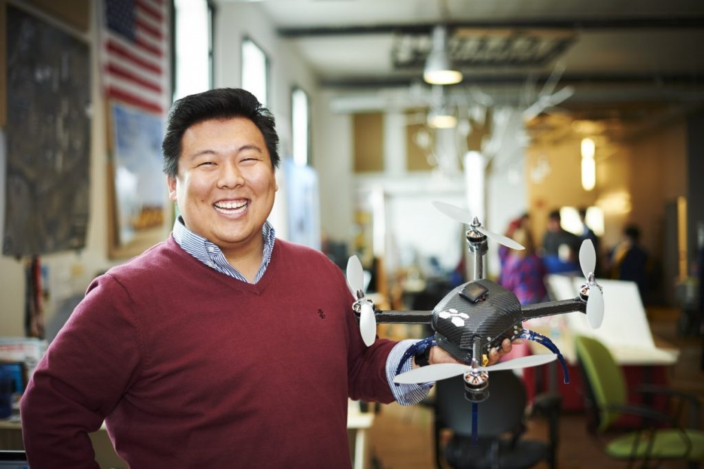 Identified Technologies’ Founder and CEO Dick Zhang
As the players tee off at Oakmont, viewers will see a pristine U.S. Open course, organized and set with the help of Identified Technologies’ surveying drone. “I’ll be watching my favorite sport this weekend, taking great pride knowing our mapping drones helped make it happen,” said Zhang. “I never thought I’d see my two greatest passions come together!”
No Comments