18 Apr How Drone Mapping Tracks Changes and Keeps Projects On Time
The ability to know the exact cost per yard and accurately predict profitability has always been more of an art than a science for construction projects.
The most common way to track progress has historically been through manual surveying and aerial imagery from planes or helicopters. Unfortunately, these traditional options came with significant costs and delays. Each option could take weeks or even months from the time one reaches out to book the survey or flight to the time when data is returned. By then the job site has progressed and the old data no longer accurately represents where the job site is today.
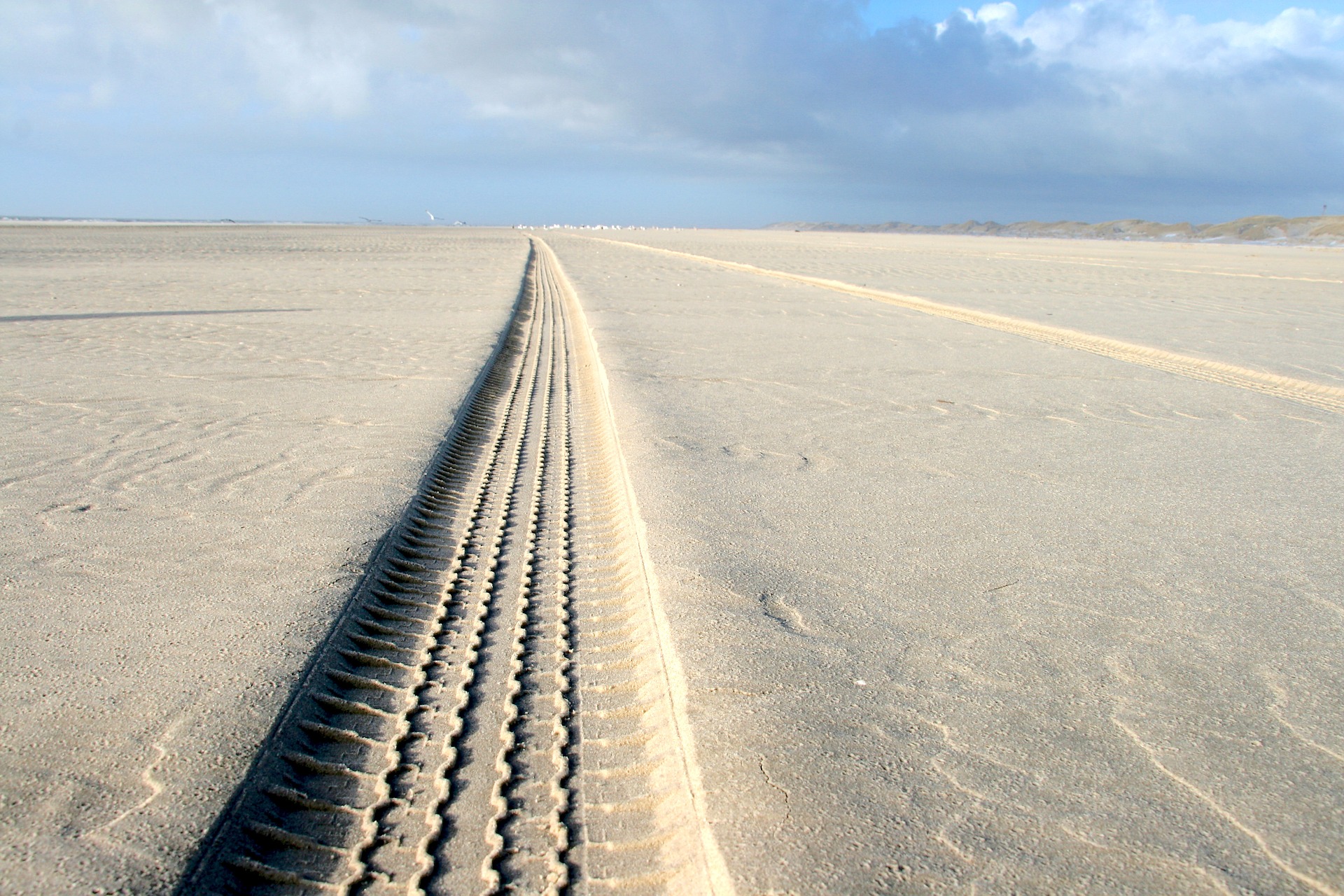
Today, there is a way to capture real-time progress and cost analysis. With drone mapping, it’s now possible to collect data on 100 acres in 10 minutes and get a processed 3-D model of the job site with volumetric analysis within hours of the flight. A fully-managed commercial drone solution makes it easy to see how much work has been completed and exactly what changed since the last time the job site was examined.
This ability to quickly review the changes on a job site is called “change detection.” Software generally uses colors to show what changed on the job site and by how much. One color is assigned to “cuts” and another color to “fills.” If the color is a darker shade, it means the volume is greater. By using this kind of tool, one can make a determination about progress with a single glance. Advanced change detection can compare not only one flight vs. the next, but also vs. any other flight. For example, it’s possible to compare today’s data with the initial blueprints, the first flight taken or one from three months ago.
There is significant business value to being able to easily track job site changes. It is very simple to see when progress has fallen behind and to take steps to correct it. Bottlenecks increase equipment and staffing costs and may even prevent the company from finishing on time. It’s also easy to see if something isn’t lining up with the initial plan so it can be addressed. Change detection can also help with keeping tabs on subcontractors. No construction executive wants to pay a sub more than they owe them, or before the promised work is completed.
Change detection can also have a host of implications for specific industries such as energy or landfills. In energy projects, pipeline managers inspect the Right of Way to make sure nothing is obstructing the pipeline’s path. With change detection, it’s easy to quickly inspect the Right of Way. If a vehicle is in the way, it can be moved it before it causes a problem.
The speed of change in the construction industry is increasing. Thanks to drone mapping and change detection it’s easier for construction executives to keep projects on track than ever before.
The preceding blog post was adapted from our guest feature in Construction Executive
No Comments