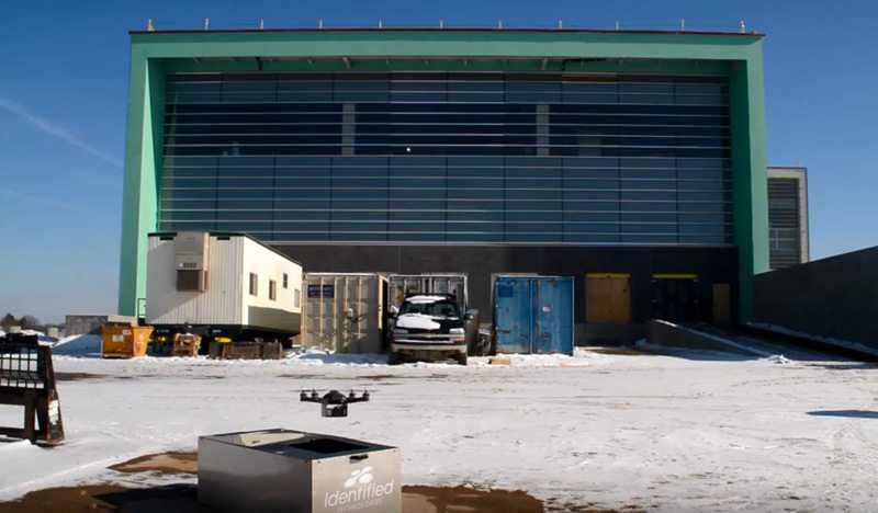
20 Oct How are construction drones saving lives on industrial job sites?
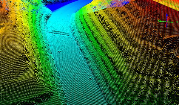
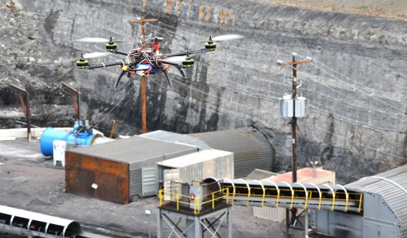
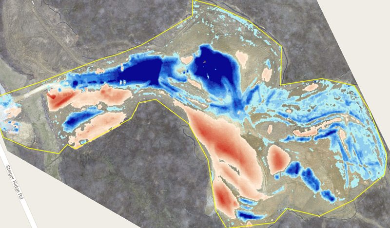
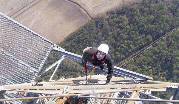
A drone’s unique ability to inspect infrastructure and other hard-to-reach places while keeping its operator out of harm’s way can be a lifesaver. Physically surveying on foot means traversing uneven ground, harsh environmental conditions, and dangerous industrial equipment. While it can take months to survey a 100 acre site on foot, construction drones can do it in 10 minutes, without ever putting a human contractor at risk....